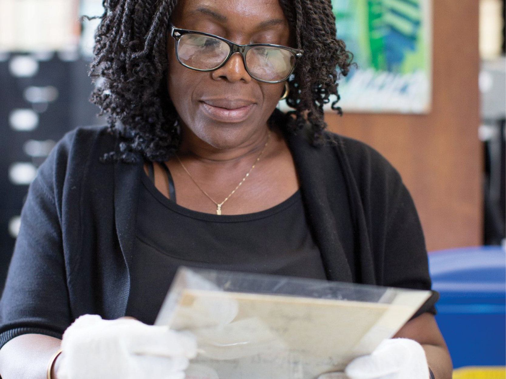
Historic photographs are one of the highlights of the Brooklyn Collection, and thanks to digitization, are the most easily accessible of our treasures. Thousands of unique Brooklyn photos can be searched and found on the BPL web site. Recently, we've embarked on a project that will make some of these images even more visible, through the photo sharing web site Flickr. Along with other cultural institutions such as the Library of Congress, the Brooklyn Museum, and the Queens and New York Public Library, we've created a Flickr page with a sample of some of our photographic holdings.
Because many of these images are of specific places in Brooklyn, we've added them to Flickr's geomaps. Scrolling through the photos causes pink dots to appear on an interactive map, and clicking on the dot brings up the photo for that location. It's a great way to get to know Brooklyn!
Thanks and kudos to the Brooklyn Public Library Summer Youth Employment Project and the Web Applications department for making this project happen.
This blog post reflects the opinions of the author and does not necessarily represent the views of Brooklyn Public Library.
Post a Comment
While BPL encourages an open forum, posts and comments are moderated by library staff. BPL reserves the right, within its sole discretion, not to post and to remove submissions or comments that are unlawful or violate this policy. While comments will not be edited by BPL personnel, a comment may be deleted if it violates our comment policy.
eNews Signup
Get the latest updates from BPL and be the first to know about new programs, author talks, exciting events and opportunities to support your local library.


