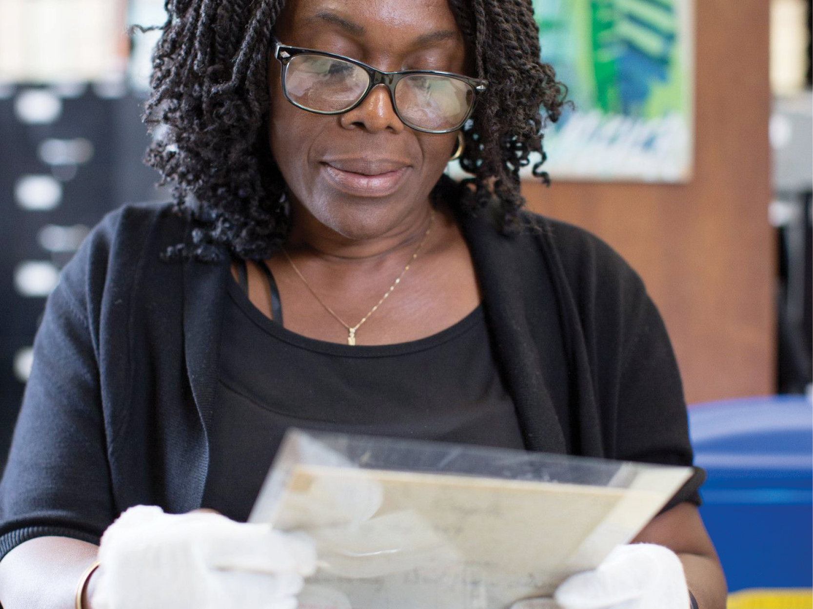
As I've discovered from working with the map collection at BHS, posting real estate advertisements around the city is not a new phenomenon. Our collection has a substantial amount of 19th century auction maps that show property for sale throughout Brooklyn. These maps demonstrate how family lands (generally farms) were divided into the modern blocks and lots we see today. I like to imagine 19th century Brooklynites walking past shop windows and stopping to look at these maps, perhaps imagining themselves in a new and better situation. Just like I do, over 100 years later.
Below is one of my favorite examples.

This map dates from 1838 and shows the sale of the estate of John Jackson. It covers an area in modern-day Vinegar Hill. Below, a detailed section of the map reveals its information-rich character; it includes lot numbers, dimensions, and names of property owners. For genealogical researchers who want to date the building of their home, these maps can prove invaluable, since they predate Sanborn fire insurance maps.

One of the most surprising discoveries of working with these maps has been the wide geographic coverage of Brooklyn that they encompass. While the BHS collection has many early property maps of Brooklyn Heights, the collection also contains such maps of Bedford-Stuyvesant, Park Slope, Sunset Park, Dyker Heights, East New York, Crown Heights, Prospect Lefferts-Gardens, and more. If you're interested in seeing any of these maps, you can search our catalog BobCat or visit the library.
This blog post reflects the opinions of the author and does not necessarily represent the views of Brooklyn Public Library.
Post a Comment
While BPL encourages an open forum, posts and comments are moderated by library staff. BPL reserves the right, within its sole discretion, not to post and to remove submissions or comments that are unlawful or violate this policy. While comments will not be edited by BPL personnel, a comment may be deleted if it violates our comment policy.
eNews Signup
Get the latest updates from BPL and be the first to know about new programs, author talks, exciting events and opportunities to support your local library.

